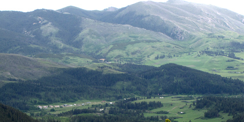
Judith Peak

The Judith Mountains are located just a few miles northeast of Lewistown. Judith Peak is the highest point of the range at 6,247 feet. With a good gravel road all the way to the summit, you'll love the ease of enjoying the fantastic 360° views.
Seven mountain ranges - the North and South Moccasins, Big Snowies, Little Snowies, Big Belts, Little Belts, Highwoods, Square Butte, and in far distance, the Little Rockies - can be seen as well as endless prairie views. BLM now manages most of the area.
The range geology includes limestone, sandstone, and siltstone. In the 1800s, gold and silver mining centered in these mountains, and even today, exploration continues. The boom town mining camps of Maiden and Gilt Edge were built in the 1880s and 1890s.
Since then, the US Air Force operated a now abandoned communication facility on the mountaintop and there are still a few old cinderblock buildings and radio towers left behind. The open area of the abandoned radar station is the perfect spot for searching and rockhounding for the popular quartz crystals, more commonly know as Montana Dobe Diamonds.
Driving Directions:
From Lewistown take Highway 191. Drive about 10 miles to Maiden Road. Take a right and continue driving on the Maiden Road for about 15 more miles (follow the signs) to the top of the Judith Mountains. At the peak there is a parking area in which to enjoy the views.


Judith Peak